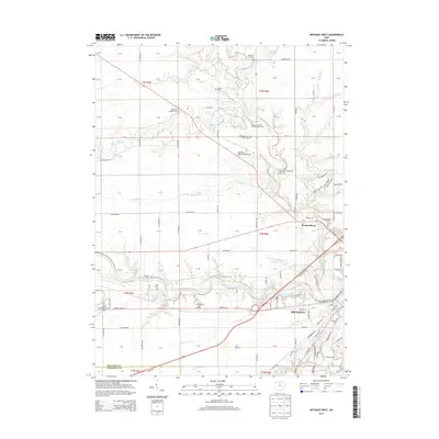
2013 Map of Defiance West
USGS Topo · Published 2013About this map
The Maumee River and Tiffin River converge in the southeastern corner of this survey, defining the industrial and residential heart of Defiance. This junction forms a significant hydrologic hub, further shaped by the Auglaize River and an extensive network of managed drainage like Dowe Ditch and Stevens Ditch. The landscape is a mosaic of agricultural fields and civic institutions, including the Defiance Memorial Airport and the Defiance County Home Cem.
Find a feature on this map
96 named features on this map. Tap any name to fly to it.
Don’t see what you’re looking for? This feature index may not catch every label — zoom into the map to look around manually.
Map Details
Editions of this 2013 Defiance West Map
This is the sole edition of this map. No revisions or reprints were ever made.
Other maps of this area

1907 · Defiance
USGS Topo · 1:62,500

1909 · Defiance
USGS Topo · 1:62,500

1909 · Continental
USGS Topo · 1:62,500

1914 · Bryan
USGS Topo · 1:62,500

1914 · Paulding
USGS Topo · 1:62,500

1943 · Bryan
USGS Topo · 1:62,500

1944 · Paulding
USGS Topo · 1:62,500

1953 · Fort Wayne
USGS Topo · 1:250,000

1956 · Fort Wayne
USGS Topo · 1:250,000

1959 · Defiance East
USGS Topo · 1:24,000