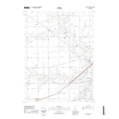
2019 Map of Defiance West
USGS Topo · Published 2019About this map
The confluence of the Maumee River and the Auglaize River defines the landscape of Defiance, Ohio, where waterways and transport corridors have long shaped local development. North of the city, the Tiffin River winds south past several community landmarks, including the Noble and Tiffin Cem and the Brunersburg settlement. This area is particularly rich for genealogical research, with numerous burial sites such as Riverside Cem, Shoemaker Cem, and the Marysdale Catholic Cem scattered across the countryside.
Find a feature on this map
108 named features on this map. Tap any name to fly to it.
Don’t see what you’re looking for? This feature index may not catch every label — zoom into the map to look around manually.
Map Details
Editions of this 2019 Defiance West Map
This is the sole edition of this map. No revisions or reprints were ever made.
Other maps of this area

1907 · Defiance
USGS Topo · 1:62,500

1909 · Defiance
USGS Topo · 1:62,500

1909 · Continental
USGS Topo · 1:62,500

1914 · Bryan
USGS Topo · 1:62,500

1914 · Paulding
USGS Topo · 1:62,500

1943 · Bryan
USGS Topo · 1:62,500

1944 · Paulding
USGS Topo · 1:62,500

1953 · Fort Wayne
USGS Topo · 1:250,000

1956 · Fort Wayne
USGS Topo · 1:250,000

1959 · Defiance East
USGS Topo · 1:24,000