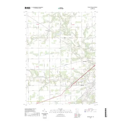
2023 Map of Defiance West
USGS Topo · Published 2023About this map
The confluence of the Maumee River, Tiffin River, and Auglaize River dominates this landscape, revealing the enduring hydrographic importance of Defiance. The city's northwestern reaches and the nearby settlement of Brunersburg sit at a historical crossroads, where drainage features like Dowe Ditch and Stevens Ditch reflect the ongoing management of the region's flat, fertile terrain. The map is particularly notable for its dense concentration of memorial sites and public institutions, including the Defiance Memorial Airport and several cemeteries that serve as a genealogical record of the area's families.
Find a feature on this map
109 named features on this map. Tap any name to fly to it.
Don’t see what you’re looking for? This feature index may not catch every label — zoom into the map to look around manually.
Map Details
Editions of this 2023 Defiance West Map
This is the sole edition of this map. No revisions or reprints were ever made.
Other maps of this area

1907 · Defiance
USGS Topo · 1:62,500

1909 · Defiance
USGS Topo · 1:62,500

1909 · Continental
USGS Topo · 1:62,500

1914 · Bryan
USGS Topo · 1:62,500

1914 · Paulding
USGS Topo · 1:62,500

1943 · Bryan
USGS Topo · 1:62,500

1944 · Paulding
USGS Topo · 1:62,500

1953 · Fort Wayne
USGS Topo · 1:250,000

1956 · Fort Wayne
USGS Topo · 1:250,000

1959 · Defiance East
USGS Topo · 1:24,000