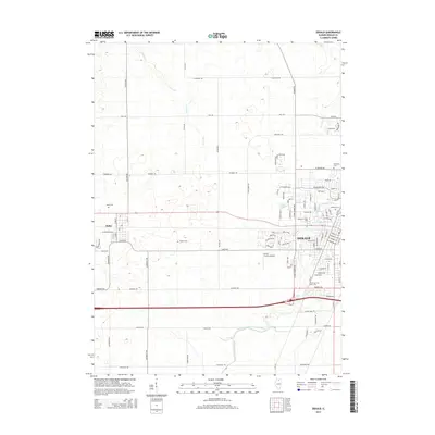
2015 Map of DeKalb
USGS Topo · Published 2015About this map
Northern Illinois Univ serves as a central anchor for this area of DeKalb County, where the academic campus meets the expanding residential grid of DeKalb. The landscape transitions from the urbanized streets of the city to the agricultural tracts surrounding the village of Malta to the west. This territory is drained by the South Branch Kishwaukee River and Owens Cr, which carve subtle paths through the prairie land. Numerous local burial sites, including Malta Cem, Hudson Cem, and Oaklawn Cem, provide significant touchpoints for genealogists tracing family histories in the township. Distinctive local landmarks like Uncle Chuck's Airport and the managed waters of Lorusso Lagoon illustrate the modern utilitarian and recreational uses of the land outside the immediate university influence.
Find a feature on this map
34 named features on this map. Tap any name to fly to it.
Don’t see what you’re looking for? This feature index may not catch every label — zoom into the map to look around manually.
Map Details
Editions of this 2015 DeKalb Map
This is the sole edition of this map. No revisions or reprints were ever made.
Other maps of this area

1918 · Kirkland
USGS Topo · 1:62,500

1934 · De Kalb
USGS Topo · 1:62,500

1937 · De Kalb
USGS Topo · 1:62,500

1937 · Sycamore
USGS Topo · 1:62,500

1938 · Genoa
USGS Topo · 1:62,500

1954 · Rockford
USGS Topo · 1:250,000

1955 · Rockford
USGS Topo · 1:250,000

1958 · Aurora
USGS Topo · 1:250,000

1958 · Rockford
USGS Topo · 1:250,000

1961 · Aurora
USGS Topo · 1:250,000