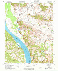
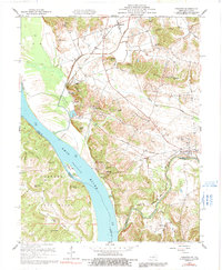
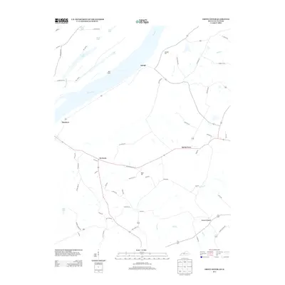
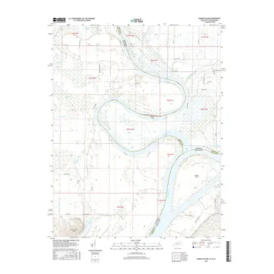
1959 Map of Dekoven
USGS Topo · Published 1977About this map
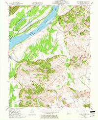
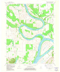
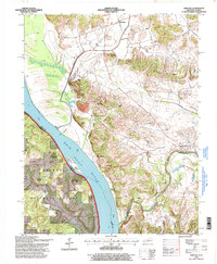
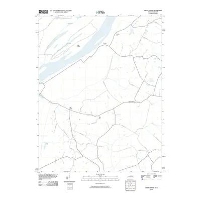
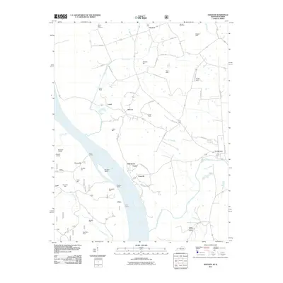
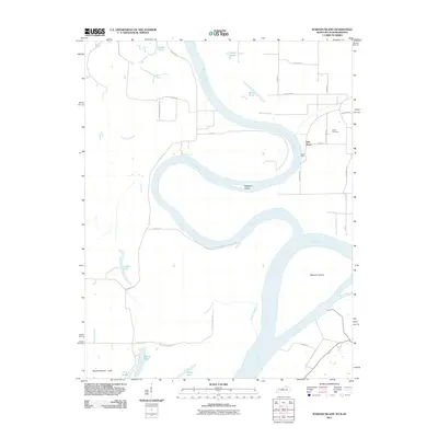
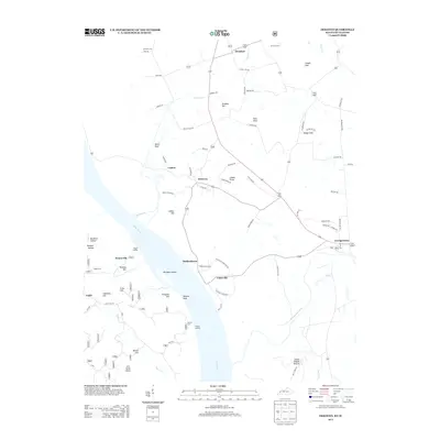
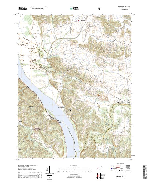
The Ohio River and Tradewater River converge in this 1950s survey, marking a vital borderland between Kentucky and Illinois. The landscape is defined by the sharp transition from the river bottomlands to the interior ridges and knobs, including Graham Hill, Indian Hill, and Lizard Point. A complex network of small settlements and river towns highlights the era's local economy, with places like Dekoven, Caseyville, and Mulfordtown lining the Kentucky side of the water.
Find a feature on this map
52 named features on this map. Tap any name to fly to it.
Don’t see what you’re looking for? This feature index may not catch every label — zoom into the map to look around manually.
Map Details
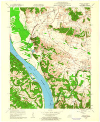
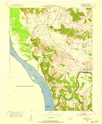
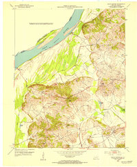
Editions of this 1959 Dekoven Map
3 editions found
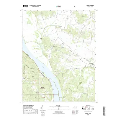
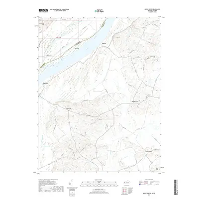
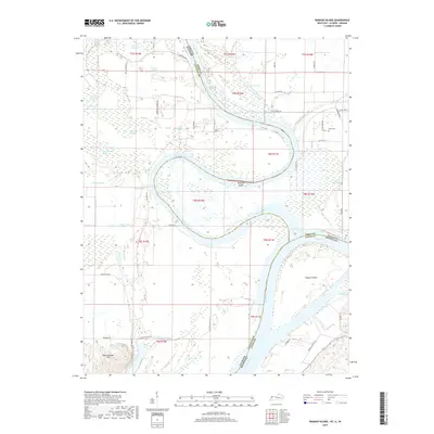
Historical Maps of Sturgis Through Time
21 maps found
1953 Dekoven
Union County, KY
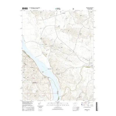
1953 Grove Center
Union County, KY
1959 Dekoven
Union County, KY
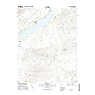
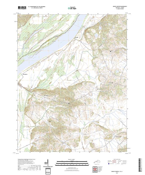
1959 Grove Center
Union County, KY
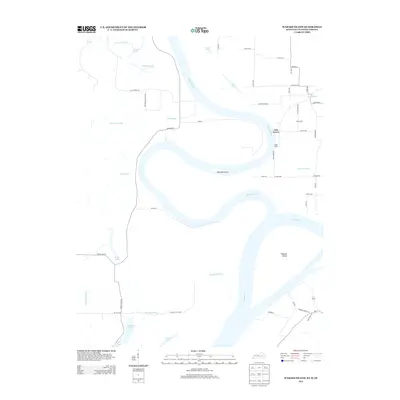
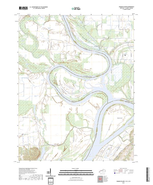
1981 Wabash Island
Union County, KY
1996 Dekoven
Union County, KY
2010 Grove Center
Union County, KY
2011 Dekoven
Union County, KY
2011 Wabash Island
Union County, KY
2013 Dekoven
Union County, KY
2013 Grove Center
Union County, KY
2013 Wabash Island
Union County, KY
2016 Dekoven
Union County, KY
2016 Grove Center
Union County, KY
2016 Wabash Island
Union County, KY
2019 Dekoven
Union County, KY
2019 Grove Center
Union County, KY
2019 Wabash Island
Union County, KY
2022 Dekoven
Union County, KY
2022 Grove Center
Union County, KY
2022 Wabash Island
Union County, KY