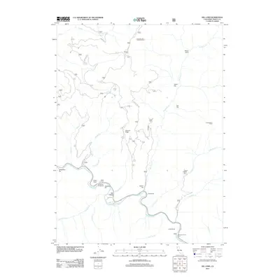
2012 Map of Del Loma
USGS Topo · Published 2012About this map
The Trinity River serves as the central artery for this remote portion of Trinity County, carving through a landscape defined by significant elevation changes and isolated ranching outposts. Along its winding course, the river creates unique geographical features such as Canadian Bar, Schneiders Bar, and French Bar, which have historically served as focal points for local activity and transit. The small settlement of Del Loma sits near the riverbanks, connected to the broader region by local routes like Angie Ln and Carrie Hyden Rd.
Find a feature on this map
40 named features on this map. Tap any name to fly to it.
Don’t see what you’re looking for? This feature index may not catch every label — zoom into the map to look around manually.
Map Details
Editions of this 2012 Del Loma Map
This is the sole edition of this map. No revisions or reprints were ever made.
Other maps of this area

1909 · Big Bar
USGS Topo · 1:96,000

1915 · Big Bar and Vicinity
USGS Topo · 1:250,000

1951 · Hayfork
USGS Topo · 1:62,500

1951 · Helena
USGS Topo · 1:62,500

1951 · Hyampom
USGS Topo · 1:62,500

1951 · Ironside Mountain
USGS Topo · 1:62,500

1958 · Redding
USGS Topo · 1:250,000
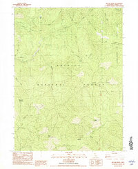
1982 · Jim Jam Ridge
USGS Topo · 1:24,000
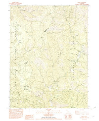
1982 · Denny
USGS Topo · 1:24,000

1982 · Helena
USGS Topo · 1:24,000