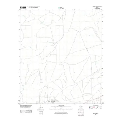
2010 Map of Del Rio NE
USGS Topo · Published 2010About this map
San Felipe Creek and its many tributaries define the drainage patterns of this semi-arid landscape northeast of Del Rio. The map details a period of residential development and rural connectivity, with concentrated housing in Val Verde Park and the nearby Val Verde Park Number 2 Colonia. To the east, the settlement of Johnstone sits along a major transportation corridor, while the northern reaches remain defined by large-scale ranching interests accessed via Lewis Ranch Rd. The network of seasonal waterways, including Sacatosa Creek and Sycamore Creek, illustrates the complex hydrologic character of the South Texas brush country before it reaches the Rio Grande. Local roads like Tierra Blanca DR and FM 2523 provide the primary framework for the area's growth and agricultural access.
Find a feature on this map
13 named features on this map. Tap any name to fly to it.
Don’t see what you’re looking for? This feature index may not catch every label — zoom into the map to look around manually.
Map Details
Editions of this 2010 Del Rio NE Map
This is the sole edition of this map. No revisions or reprints were ever made.
Other maps of this area

1941 · Standart
USGS Topo · 1:62,500

1943 · Standart
USGS Topo · 1:62,500

1943 · Del Rio
USGS Topo · 1:62,500

1944 · Flat Rock
USGS Topo · 1:62,500

1944 · Devils Lake
USGS Topo · 1:62,500

1958 · Del Rio
USGS Topo · 1:250,000

1964 · Del Rio
USGS Topo · 1:250,000

1972 · Del Rio SW
USGS Topo · 1:24,000

1972 · Rough Canyon SE
USGS Topo · 1:24,000

1972 · Del Rio SE
USGS Topo · 1:24,000