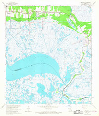
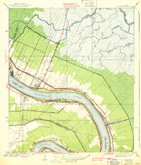
1967 Map of Delacroix
USGS Topo · Published 1968About this map
St Bernard and the surrounding marshlands of southeastern Louisiana are defined by an intricate network of waterways and early land management systems. The landscape is dominated by the vast expanse of Lake Lery and the winding course of Bayou Terre aux Boeufs, which provides a natural corridor for settlements like Reggio and Delacroix. The influence of colonial land grants is visible in the linear patterns of the Forty Arpent Canal and Eighty Arpent Canal, which cut across the marsh to provide drainage and transport. Along the northern edge, the Southern Railroad Grade follows the higher ground near Kenilworth, connecting small communities and industrial sites such as the Radio Tower and Sewage Disposal plant. Local history is preserved in landmarks like True Love Cem and Creedmore Ch, while the southern reaches transitions into the labyrinthine wetlands of Lost Lake and Bayou Gentilly.
Find a feature on this map
47 named features on this map. Tap any name to fly to it.
Don’t see what you’re looking for? This feature index may not catch every label — zoom into the map to look around manually.
Map Details
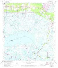
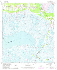
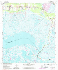
Editions of this 1967 Delacroix Map
4 editions found
Other maps of this area

1891 · Pointe a La Hache
USGS Topo · 1:62,500

1892 · St. Bernard
USGS Topo · 1:62,500

1892 · Pointe a La Hache
USGS Topo · 1:62,500

1893 · Shell Beach
USGS Topo · 1:62,500

1893 · Dime
USGS Topo · 1:62,500

1935 · Delacroix
USGS Topo · 1:31,680

1935 · Lake Batola
USGS Topo · 1:31,680

1939 · Shell Beach
USGS Topo · 1:62,500
1939 · Chalmette
USGS Topo · 1:31,680

1939 · Pointe a La Hache
USGS Topo · 1:62,500