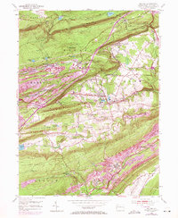
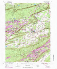
1954 Map of Delano
USGS Topo · Published 1971About this map
Mahanoy and Delano townships define this industrial landscape of the anthracite coal region during the mid-20th century. The complex rail infrastructure of the Reading, Lehigh Valley, and Central RR of New Jersey lines dominates the narrow valleys, connecting crucial nodes like Mahanoy Tunnel Sta and Hazleton Jct. The map illustrates the concentration of company towns and rail junctions, including Tamanend, Quakake, and Park Place, which grew around the extraction and transport of coal.
Find a feature on this map
68 named features on this map. Tap any name to fly to it.
Don’t see what you’re looking for? This feature index may not catch every label — zoom into the map to look around manually.
Map Details
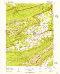
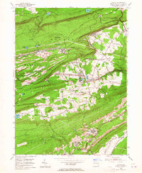
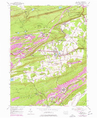
Editions of this 1954 Delano Map
5 editions found
Other maps of this area

1889 · Hazleton
USGS Topo · 1:62,500

1889 · Pottsville
USGS Topo · 1:62,500

1891 · Hazleton
USGS Topo · 1:62,500

1891 · Pottsville
USGS Topo · 1:62,500

1892 · Mahanoy
USGS Topo · 1:62,500

1893 · Hazleton
USGS Topo · 1:62,500

1893 · Mahanoy
USGS Topo · 1:62,500

1909 · Hamburg
USGS Topo · 1:62,500

1911 · Hamburg
USGS Topo · 1:62,500

1944 · Pottsville
USGS Topo · 1:24,000
Featured Places
- Hometown, Rush Township
- Delano, Delano Township
- Schuylkill Township, PA
- Haucks, Rush Township
- Buck Mountain, Mahanoy Township