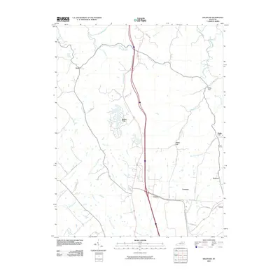
2010 Map of Delaplain
USGS Topo · Published 2010About this map
Delaplain and the surrounding Scott County countryside appear here during a period of transition, where modern transit corridors intersect a landscape defined by historic settlements and drainage basins. The area is marked by numerous small communities such as Boydtown, Cranetown, and the lakeside development at Mallard Point. A complex network of watercourses, including Little Eagle Creek and Eagle Creek, dictates the local geography, with older place names like Muddy Ford and Turkey Foot hinting at traditional crossing points and land divisions.
Find a feature on this map
43 named features on this map. Tap any name to fly to it.
Don’t see what you’re looking for? This feature index may not catch every label — zoom into the map to look around manually.
Map Details
Editions of this 2010 Delaplain Map
This is the sole edition of this map. No revisions or reprints were ever made.
Other maps of this area

1906 · Georgetown
USGS Topo · 1:62,500

1908 · Georgetown
USGS Topo · 1:62,500

1927 · Lexington
USGS Topo · 1:48,000

1929 · Cynthiana
USGS Topo · 1:48,000

1929 · Lexington
USGS Topo · 1:62,500

1934 · Cynthiana
USGS Topo · 1:62,500

1939 · Sadieville
USGS Topo · 1:62,500

1952 · Midway
USGS Topo · 1:24,000

1953 · Sadieville
USGS Topo · 1:24,000

1953 · Breckinridge
USGS Topo · 1:24,000