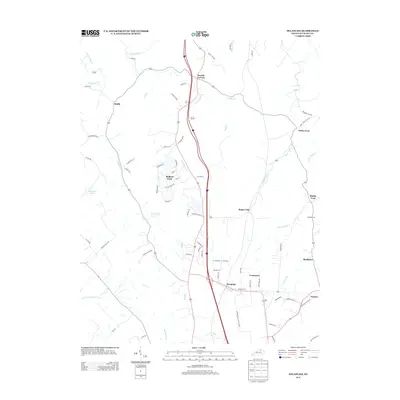
2013 Map of Delaplain
USGS Topo · Published 2013About this map
Mallard Point and the evolving community of Delaplain define this Scott County landscape in the early twenty-first century. The map illustrates a transition from the agricultural roots of settlements like Oxford and Biddle to modern residential and industrial development. The local road network is dense with historically significant names, including Cincinnati Rd and the Davis-Turkey Foot Rd, which connects the northern reach near Turkey Foot.
Find a feature on this map
75 named features on this map. Tap any name to fly to it.
Don’t see what you’re looking for? This feature index may not catch every label — zoom into the map to look around manually.
Map Details
Editions of this 2013 Delaplain Map
This is the sole edition of this map. No revisions or reprints were ever made.
Other maps of this area

1906 · Georgetown
USGS Topo · 1:62,500

1908 · Georgetown
USGS Topo · 1:62,500

1927 · Lexington
USGS Topo · 1:48,000

1929 · Cynthiana
USGS Topo · 1:48,000

1929 · Lexington
USGS Topo · 1:62,500

1934 · Cynthiana
USGS Topo · 1:62,500

1939 · Sadieville
USGS Topo · 1:62,500

1952 · Midway
USGS Topo · 1:24,000

1953 · Sadieville
USGS Topo · 1:24,000

1953 · Breckinridge
USGS Topo · 1:24,000