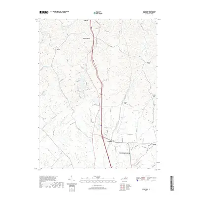
2019 Map of Delaplain
USGS Topo · Published 2019About this map
Georgetown and its northern rural environs are depicted here in 2019, showcasing the dense network of drainage and local transit defining Scott County. The landscape is carved by numerous waterways including Little Eagle Creek, Lytles Fork, and Dry Run, which flow through a topography of significant relief. Established settlements like Sadieville, Oxford, and Cranetown anchor the region, while smaller locales such as Turkey Foot and Muddy Ford reflect the long-standing community names of the Kentucky Bluegrass.
Find a feature on this map
70 named features on this map. Tap any name to fly to it.
Don’t see what you’re looking for? This feature index may not catch every label — zoom into the map to look around manually.
Map Details
Editions of this 2019 Delaplain Map
This is the sole edition of this map. No revisions or reprints were ever made.
Other maps of this area

1906 · Georgetown
USGS Topo · 1:62,500

1908 · Georgetown
USGS Topo · 1:62,500

1927 · Lexington
USGS Topo · 1:48,000

1929 · Cynthiana
USGS Topo · 1:48,000

1929 · Lexington
USGS Topo · 1:62,500

1934 · Cynthiana
USGS Topo · 1:62,500

1939 · Sadieville
USGS Topo · 1:62,500

1952 · Midway
USGS Topo · 1:24,000

1953 · Sadieville
USGS Topo · 1:24,000

1953 · Breckinridge
USGS Topo · 1:24,000