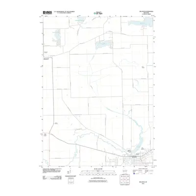
2010 Map of Delavan
USGS Topo · Published 2010About this map
The city of Delavan and the settlement of Richmond anchor this southern Wisconsin landscape, where the meandering course of Turtle Creek defines much of the central valley. The map details a transition from the structured urban grid of Delavan, featuring the Delavan Post Office and the Delavan 3WR1282 Dam on Comus Lake, to the open agricultural tracts and small lakes that characterize Walworth County. Water is a dominant element, with Turtle Lake, Lake Lorraine, and Whitewater Lake scattered across the northern half of the quadrangle.
Find a feature on this map
49 named features on this map. Tap any name to fly to it.
Don’t see what you’re looking for? This feature index may not catch every label — zoom into the map to look around manually.
Map Details
Editions of this 2010 Delavan Map
This is the sole edition of this map. No revisions or reprints were ever made.
Other maps of this area

1891 · Koshkonong
USGS Topo · 1:62,500

1892 · Whitewater
USGS Topo · 1:62,500

1893 · Delavan
USGS Topo · 1:62,500

1893 · Whitewater
USGS Topo · 1:62,500

1893 · Shopiere
USGS Topo · 1:62,500

1894 · Koshkonong
USGS Topo · 1:62,500

1903 · Whitewater
USGS Topo · 1:62,500

1906 · Koshkonong
USGS Topo · 1:62,500

1924 · Whitewater
USGS Topo · 1:62,500

1954 · Rockford
USGS Topo · 1:250,000