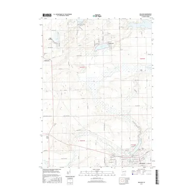
2016 Map of Delavan
USGS Topo · Published 2016About this map
Delavan anchors the southeast corner of this Walworth County landscape, where the waters of Comus Lake and the meandering Turtle Creek define the local topography. The map reveals a transition from the structured residential grid of the city to the expansive rural townships of t2n r15e and t3n r16e, which are marked by a series of glacial lakes including Lake Lorraine and Turtle Lake. This 2016 survey is particularly valuable for genealogists, as it identifies several burial grounds such as Old Settlers Cem and Spring Grove Cem, providing a precise look at the area's legacy of early settlement. Aviation history is also represented through smaller facilities like Swan Airport and Ames Private Airport, while the surrounding road network, including Co Hwy A and Co Hwy P, connects the outlying community of Richmond to the regional hub.
Find a feature on this map
94 named features on this map. Tap any name to fly to it.
Don’t see what you’re looking for? This feature index may not catch every label — zoom into the map to look around manually.
Map Details
Editions of this 2016 Delavan Map
This is the sole edition of this map. No revisions or reprints were ever made.
Other maps of this area

1891 · Koshkonong
USGS Topo · 1:62,500

1892 · Whitewater
USGS Topo · 1:62,500

1893 · Delavan
USGS Topo · 1:62,500

1893 · Whitewater
USGS Topo · 1:62,500

1893 · Shopiere
USGS Topo · 1:62,500

1894 · Koshkonong
USGS Topo · 1:62,500

1903 · Whitewater
USGS Topo · 1:62,500

1906 · Koshkonong
USGS Topo · 1:62,500

1924 · Whitewater
USGS Topo · 1:62,500

1954 · Rockford
USGS Topo · 1:250,000