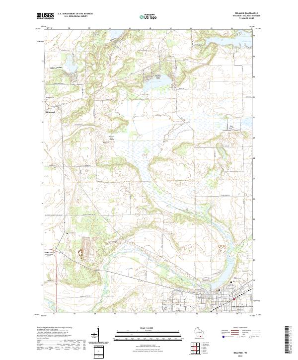
2022 Map of Delavan
USGS Topo · Published 2022About this map
The city of Delavan anchors the southeastern corner of this Walworth County study, where the waters of Comus Lake flow into Turtle Creek. The landscape transition from the settled streets of the city to the expansive marshlands and glaciated terrain of the surrounding townships is clearly defined. Notable water bodies such as Turtle Lake, Lake Lorraine, and North Lake dot the northern half of the quadrangle, connected by the meandering path of Turtle Cr. This area maintains a mix of agricultural land and small aviation sites, including Swan Airport and Bountiful Acres Airport. For those tracing local heritage, several burial grounds are scattered across the landscape, from the Old Settlers Cem near the city center to the rural Hollister Cem and Richmond Cem further west near the settlement of Richmond.
Find a feature on this map
98 named features on this map. Tap any name to fly to it.
Don’t see what you’re looking for? This feature index may not catch every label — zoom into the map to look around manually.
Map Details
Editions of this 2022 Delavan Map
This is the sole edition of this map. No revisions or reprints were ever made.
Other maps of this area

1891 · Koshkonong
USGS Topo · 1:62,500

1892 · Whitewater
USGS Topo · 1:62,500

1893 · Delavan
USGS Topo · 1:62,500

1893 · Whitewater
USGS Topo · 1:62,500

1893 · Shopiere
USGS Topo · 1:62,500

1894 · Koshkonong
USGS Topo · 1:62,500

1903 · Whitewater
USGS Topo · 1:62,500

1906 · Koshkonong
USGS Topo · 1:62,500

1924 · Whitewater
USGS Topo · 1:62,500

1954 · Rockford
USGS Topo · 1:250,000