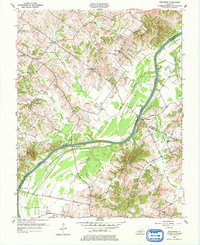
1953 Map of Delaware
USGS Topo · Published 1977About this map
The Green River carves a winding path through this mid-century landscape where Henderson, Daviess, McLean, and Webster counties converge. Small agricultural settlements like Niagara and Coraville anchor the upland regions, while the riverbanks are dotted with historic transit points such as Rangers Landing and Quinn Landing. This 1953 survey, based on aerial photographs from 1950, documents the area's rural social infrastructure through its country churches and family burial grounds, including Pleasant Valley Ch and the Gish Cem. The local economy is visibly shaped by the presence of scattered Oil Wells, indicating the extraction activities that characterized this portion of the Kentucky coal field region during the era. Topographic details illustrate the complex drainage network of Cash Creek and Sputzman Creek, providing a clear look at the terrain before modern land-use changes.
Find a feature on this map
32 named features on this map. Tap any name to fly to it.
Don’t see what you’re looking for? This feature index may not catch every label — zoom into the map to look around manually.
Map Details
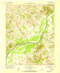
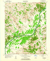
Editions of this 1953 Delaware Map
Other maps of this area

1905 · Newburg
USGS Topo · 1:62,500

1906 · Sebree
USGS Topo · 1:62,500

1908 · Calhoun
USGS Topo · 1:62,500

1914 · Henderson
USGS Topo · 1:48,000

1916 · Henderson
USGS Topo · 1:62,500

1949 · Sebree
USGS Topo · 1:24,000

1949 · Robards
USGS Topo · 1:24,000

1951 · Sebree
USGS Topo · 1:24,000

1951 · Robards
USGS Topo · 1:24,000

1951 · Spottsville
USGS Topo · 1:24,000