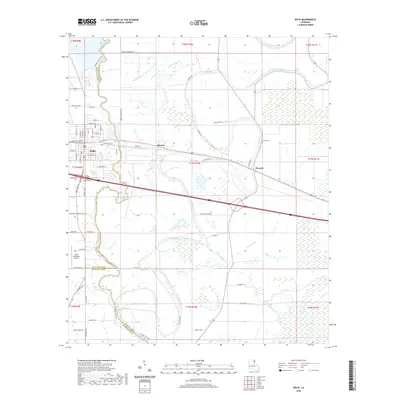
2020 Map of Delhi
USGS Topo · Published 2020About this map
Bayou Macon defines the northwestern corner of this landscape, where the borders of Richland and Madison Parishes meet. The town of Delhi serves as the primary hub, showing a detailed street grid including Main St, Charter St, and Broadway St. The surrounding countryside is defined by an intricate network of waterways such as Joes Bayou, Bull Calf Bayou, and Mack Bayou, which meander through the agricultural reaches between the smaller settlements of Altoona and Waverly. Modern infrastructure, including the Delhi Municipal Airport, sits alongside older landmarks like Waverly Cem. This documentation illustrates the persistent relationship between the area's alluvial hydrology and its residential and transport development, visible in the way roads like Poverty Point Pkwy and Country Club Rd navigate the low-lying terrain near the parish lines.
Find a feature on this map
78 named features on this map. Tap any name to fly to it.
Don’t see what you’re looking for? This feature index may not catch every label — zoom into the map to look around manually.
Map Details
Editions of this 2020 Delhi Map
This is the sole edition of this map. No revisions or reprints were ever made.
Other maps of this area

1935 · Baskinton
USGS Topo · 1:62,500

1935 · Hurricane
USGS Topo · 1:62,500

1935 · Waverly
USGS Topo · 1:62,500

1955 · Jackson
USGS Topo · 1:250,000

1958 · Baskinton
USGS Topo · 1:62,500

1958 · Hurricane
USGS Topo · 1:62,500

1959 · Mitchiner
USGS Topo · 1:62,500

1961 · Jackson
USGS Topo · 1:250,000

1961 · Waverly
USGS Topo · 1:62,500

1962 · Jackson
USGS Topo · 1:250,000