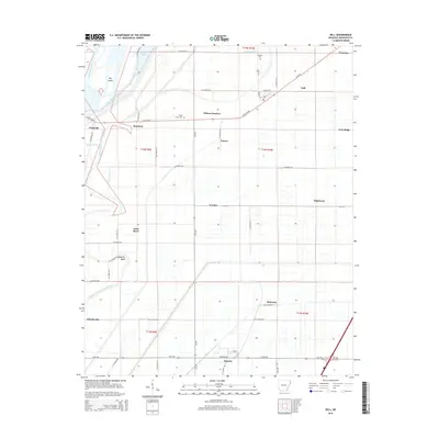
2014 Map of Dell
USGS Topo · Published 2014About this map
Mallard Lake and the winding course of the Little River define the alluvial landscape of this corner of Mississippi County. The map details a sophisticated network of drainage infrastructure, such as Ditch Number 73 and Ditch Number 224, which made agriculture possible in the sunken lands of northeast Arkansas. These ditches crisscross the terrain between elevated features like Cole Ridge and the sediment-rich Sassafras Bend.
Find a feature on this map
65 named features on this map. Tap any name to fly to it.
Don’t see what you’re looking for? This feature index may not catch every label — zoom into the map to look around manually.
Map Details
Editions of this 2014 Dell Map
This is the sole edition of this map. No revisions or reprints were ever made.
Other maps of this area

1939 · Blytheville
USGS Topo · 1:62,500

1939 · Evadale
USGS Topo · 1:62,500

1941 · Manila
USGS Topo · 1:62,500

1953 · Memphis
USGS Topo · 1:250,000

1955 · Blytheville
USGS Topo · 1:62,500

1956 · Manila
USGS Topo · 1:62,500

1956 · Evadale
USGS Topo · 1:62,500

1956 · Memphis
USGS Topo · 1:250,000

1956 · Blytheville
USGS Topo · 1:250,000

1959 · Blytheville
USGS Topo · 1:250,000