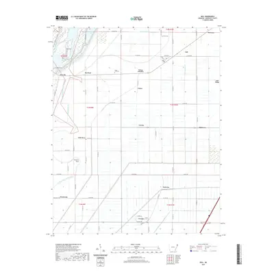
2020 Map of Dell
USGS Topo · Published 2020About this map
The Right Hand Chute Little River and its left-hand counterpart wind through this section of Mississippi County, defining a landscape transformed by drainage engineering. The intricate network of ditches, such as Ditch Number 27 and Ditch Number 73, reflects the agricultural reclamation of the delta. Settlements are frequently clustered near these waterways and the local road grid, including the community of Dell and smaller hamlets like Roseland and Wilson Junction.
Find a feature on this map
67 named features on this map. Tap any name to fly to it.
Don’t see what you’re looking for? This feature index may not catch every label — zoom into the map to look around manually.
Map Details
Editions of this 2020 Dell Map
This is the sole edition of this map. No revisions or reprints were ever made.
Other maps of this area

1939 · Blytheville
USGS Topo · 1:62,500

1939 · Evadale
USGS Topo · 1:62,500

1941 · Manila
USGS Topo · 1:62,500

1953 · Memphis
USGS Topo · 1:250,000

1955 · Blytheville
USGS Topo · 1:62,500

1956 · Manila
USGS Topo · 1:62,500

1956 · Evadale
USGS Topo · 1:62,500

1956 · Memphis
USGS Topo · 1:250,000

1956 · Blytheville
USGS Topo · 1:250,000

1959 · Blytheville
USGS Topo · 1:250,000