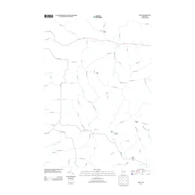
2013 Map of Dell
USGS Topo · Published 2013About this map
Irish Ridge and Sandhill Ridge define the high ground of this Monroe County landscape, which is deeply carved by the branching headwaters of several creek systems. The settlement of Dell serves as a central point in this rural area, where the terrain transitions into the distinct Twentyfour Valley and Wolf Hollow. This 2013 survey illustrates the persistence of small rural crossroads like Potts Corners and Heiser Valley within a complex network of valley-and-ridge roads.
Find a feature on this map
71 named features on this map. Tap any name to fly to it.
Don’t see what you’re looking for? This feature index may not catch every label — zoom into the map to look around manually.
Map Details
Editions of this 2013 Dell Map
This is the sole edition of this map. No revisions or reprints were ever made.
Other maps of this area

1909 · Sparta
USGS Topo · 1:62,500

1916 · Tomah
USGS Topo · 1:62,500

1923 · Viroqua
USGS Topo · 1:62,500

1926 · Viroqua
USGS Topo · 1:62,500

1926 · La Farge
USGS Topo · 1:62,500

1947 · Sparta
USGS Topo · 1:62,500

1949 · Sparta
USGS Topo · 1:62,500

1949 · Tomah
USGS Topo · 1:62,500

1958 · La Crosse
USGS Topo · 1:250,000

1961 · La Crosse
USGS Topo · 1:250,000