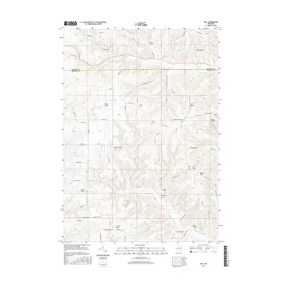
2016 Map of Dell
USGS Topo · Published 2016About this map
Dell stands as the primary settlement within this driftless landscape, situated along the winding course of Weister Cr at the junction of Co RD P. This 2016 survey illustrates a highly dissected terrain defined by a network of narrow valleys and prominent ridges that dictate the layout of local roads and farmsteads. The high ground of Irish Ridge and Buckeye Ridge separates the northern drainage of Upper Brush Cr from the southern hollows. Historical continuity is evident in the presence of Bad Axe Cem and Home Cem, which anchor the rural community. The complex topography is further mapped through numerous named drainages and depressions including Twentyfour Valley, Nelson Hollow, and White Hollow, reflecting a long history of agricultural adaptation to the steep Wisconsin coulees.
Find a feature on this map
84 named features on this map. Tap any name to fly to it.
Don’t see what you’re looking for? This feature index may not catch every label — zoom into the map to look around manually.
Map Details
Editions of this 2016 Dell Map
This is the sole edition of this map. No revisions or reprints were ever made.
Other maps of this area

1909 · Sparta
USGS Topo · 1:62,500

1916 · Tomah
USGS Topo · 1:62,500

1923 · Viroqua
USGS Topo · 1:62,500

1926 · Viroqua
USGS Topo · 1:62,500

1926 · La Farge
USGS Topo · 1:62,500

1947 · Sparta
USGS Topo · 1:62,500

1949 · Sparta
USGS Topo · 1:62,500

1949 · Tomah
USGS Topo · 1:62,500

1958 · La Crosse
USGS Topo · 1:250,000

1961 · La Crosse
USGS Topo · 1:250,000