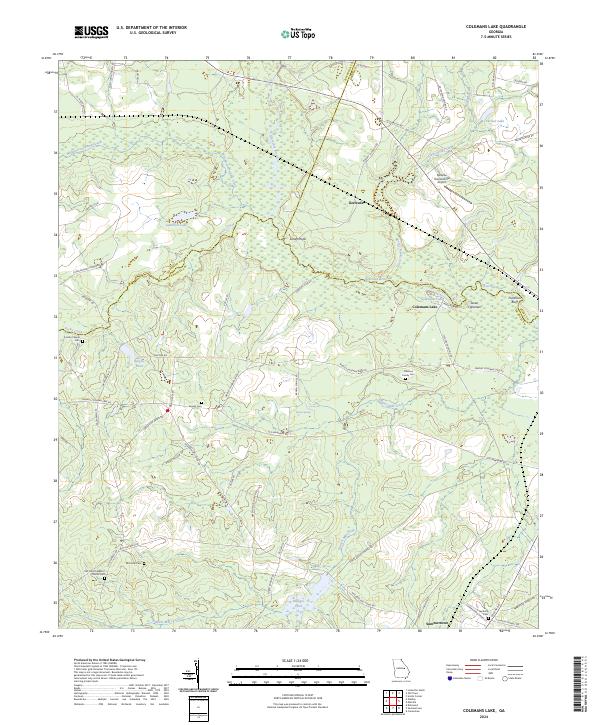
2024 Map of Dellwood
USGS Topo · Published 2024About this map
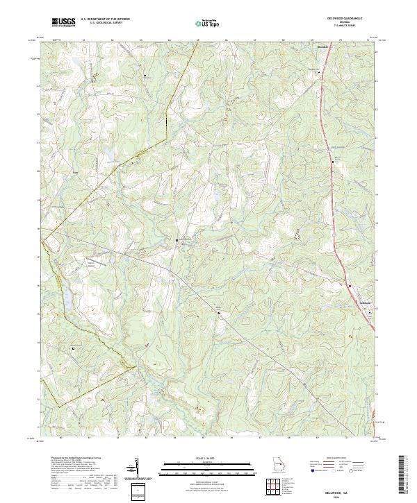
Little Ohoopee River and its various tributaries, including Flat Creek and Bruner Creek, define the topography of this section of central Georgia. The landscape is a network of rural routes and family-named landmarks that speak to the region's agricultural and social history. Small settlements like Tom and Blundale anchor the map, while the community of Dellwood sits along the eastern edge. This survey provides a clear view of the area's genealogical geography, capturing numerous burial grounds such as Pollett Cem and Moxley Cem, alongside local spiritual centers like Bithynia Church.
Find a feature on this map
79 named features on this map. Tap any name to fly to it.
Don’t see what you’re looking for? This feature index may not catch every label — zoom into the map to look around manually.
Map Details
Editions of this 2024 Dellwood Map
This is the sole edition of this map. No revisions or reprints were ever made.
Historical Maps of Tom Through Time
6 maps found