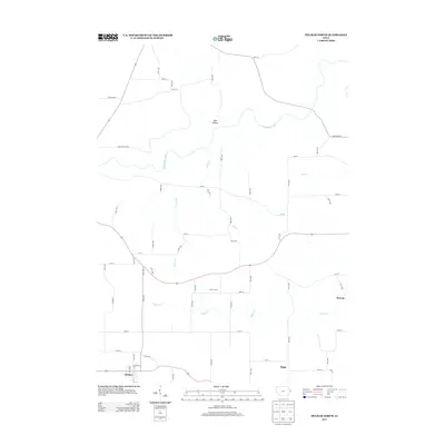
2013 Map of Delmar North
USGS Topo · Published 2013About this map
The Maquoketa River winds through the northern reaches of this rural Iowa landscape, defining the topography near Dark Hollow. In this 2013 snapshot, the southern border is anchored by the community of Delmar, where a grid of streets including Main St and Sparks St marks the center of local activity. The surrounding agricultural lands are punctuated by small crossroads settlements and points of interest that offer valuable data for local history and genealogy.
Find a feature on this map
60 named features on this map. Tap any name to fly to it.
Don’t see what you’re looking for? This feature index may not catch every label — zoom into the map to look around manually.
Map Details
Editions of this 2013 Delmar North Map
This is the sole edition of this map. No revisions or reprints were ever made.
Other maps of this area

1891 · DeWitt
USGS Topo · 1:62,500

1891 · Maquoketa
USGS Topo · 1:62,500

1892 · Goose Lake
USGS Topo · 1:62,500

1894 · Goose Lake
USGS Topo · 1:62,500

1899 · Clinton
USGS Topo · 1:125,000

1901 · Peosta
USGS Topo · 1:125,000

1901 · Rock Island
USGS Topo · 1:125,000

1910 · Rock Island
USGS Topo · 1:125,000

1935 · Miles
USGS Topo · 1:62,500

1941 · Miles
USGS Topo · 1:62,500