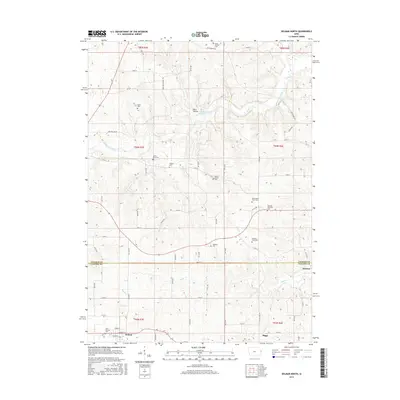
2015 Map of Delmar North
USGS Topo · Published 2015About this map
Dark Hollow and the winding course of the Maquoketa River define the northern reaches of this landscape along the border of Jackson and Clinton Counties. The area is exceptionally dense with small family and township burial grounds, reflecting the deep agrarian roots of eastern Iowa. Notable sites include the Fairfield Township Cem, Richardson Farm Cem, and Saint Patricks Cem, many located near early farmsteads and rural crossroads. The southern portion of the map centers on the town of Delmar, a local hub where the grid of streets like Market St and Center St meets the surrounding fields. Smaller rail-adjacent communities such as Riggs and Browns sit further east, connected by a network of gravel roads including Iron Bridge Rd and 100th St. Waterways like Sugar Cr and Rock Cr cut through the township lines, providing drainage for the productive farmland that occupies the majority of the terrain.
Find a feature on this map
69 named features on this map. Tap any name to fly to it.
Don’t see what you’re looking for? This feature index may not catch every label — zoom into the map to look around manually.
Map Details
Editions of this 2015 Delmar North Map
This is the sole edition of this map. No revisions or reprints were ever made.
Other maps of this area

1891 · DeWitt
USGS Topo · 1:62,500

1891 · Maquoketa
USGS Topo · 1:62,500

1892 · Goose Lake
USGS Topo · 1:62,500

1894 · Goose Lake
USGS Topo · 1:62,500

1899 · Clinton
USGS Topo · 1:125,000

1901 · Peosta
USGS Topo · 1:125,000

1901 · Rock Island
USGS Topo · 1:125,000

1910 · Rock Island
USGS Topo · 1:125,000

1935 · Miles
USGS Topo · 1:62,500

1941 · Miles
USGS Topo · 1:62,500