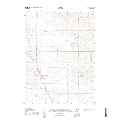
2018 Map of Delmar South
USGS Topo · Published 2018About this map
Delmar and the surrounding agricultural townships of Clinton County are documented in this 2018 survey, reflecting a landscape defined by century-old sectional roads and quiet rural settlements. The topography is shaped by several drainages, including the winding course of Deep Creek and the southern reaches of Silver Creek. For those researching local lineages, the map identifies numerous historical burial grounds such as Evergreen Cemetery and the Immaculate Conception Cemetery near Petersville. The southern portion of the sheet highlights the proximity of Welton and North Welton, linked by the path of Old Highway 61. This map captures the persistent grid of the Public Land Survey System, illustrating how 19th-century land divisions continue to organize the modern Iowa countryside.
Find a feature on this map
51 named features on this map. Tap any name to fly to it.
Don’t see what you’re looking for? This feature index may not catch every label — zoom into the map to look around manually.
Map Details
Editions of this 2018 Delmar South Map
This is the sole edition of this map. No revisions or reprints were ever made.
Other maps of this area

1891 · DeWitt
USGS Topo · 1:62,500

1891 · Maquoketa
USGS Topo · 1:62,500

1892 · Goose Lake
USGS Topo · 1:62,500

1894 · Goose Lake
USGS Topo · 1:62,500

1899 · Clinton
USGS Topo · 1:125,000

1901 · Peosta
USGS Topo · 1:125,000

1901 · Rock Island
USGS Topo · 1:125,000

1910 · Rock Island
USGS Topo · 1:125,000

1935 · Miles
USGS Topo · 1:62,500

1941 · Miles
USGS Topo · 1:62,500