Loading...
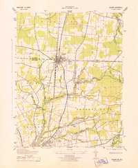
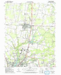
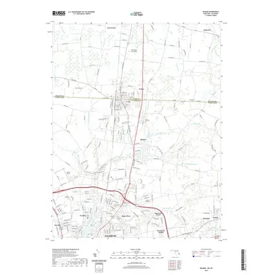
Loading map...1943 Map of Delmar
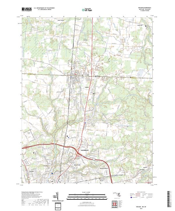
USGS Topo · Published 1943About this map
The border town of Delmar sits squarely on the state line, serving as a hub for the Pennsylvania railroad line during the early 1940s. This survey illustrates the intricate network of drainage ditches and branches that define the landscape of Sussex and Wicomico counties, including Figgs Ditch and Vena Gains Branch. To the south, the city of Salisbury is shown with its northern residential and industrial reaches, including the Salisbury Airport and the State Game Farm.
Find a feature on this map
45 named features on this map. Tap any name to fly to it.
Don’t see what you’re looking for? This feature index may not catch every label — zoom into the map to look around manually.
Map Details
Date Portrayed1943
Date Published1943
PublisherU.S. Geological Survey
Map TypeTopographic
Scale1:31,680
Physical Dimensions17.8 x 21.6 inches
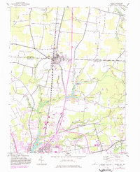
Editions of this 1943 Delmar Map
This is the sole edition of this map. No revisions or reprints were ever made.
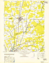
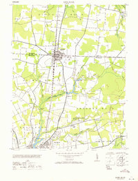
Historical Maps of Salisbury Through Time
10 maps found
Featured Locations
Source Details
SourceU.S. Geological Survey
CopyrightPublic Domain