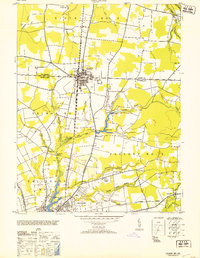
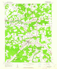
1953 Map of Delmar
USGS Topo · Published 1953About this map
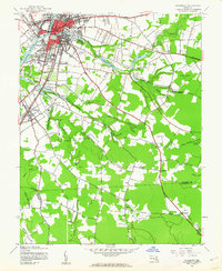
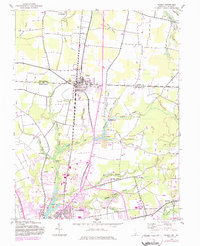
Delmar straddles the boundary between Sussex County and Wicomico County, serving as a dual-state hub in the early 1950s. The Pennsylvania railroad forms a sharp north-south axis through the center of town, flanked by the residential blocks and a prominent Standpipe. To the south, the city of Salisbury anchors the map, situated where the Wicomico River meets Johnson Pond. The landscape is a network of managed water and agricultural infrastructure, featuring numerous ponds and ditches like Leonard Pond and Figgs Ditch.
Find a feature on this map
50 named features on this map. Tap any name to fly to it.
Don’t see what you’re looking for? This feature index may not catch every label — zoom into the map to look around manually.
Map Details
Editions of this 1953 Delmar Map
This is the sole edition of this map. No revisions or reprints were ever made.
Other maps of this area

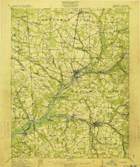
1901 · Salisbury
USGS Topo · 1:62,500

1902 · Pittsville
USGS Topo · 1:62,500
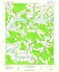
1915 · Seaford
USGS Topo · 1:62,500

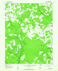
1917 · Millsboro
USGS Topo · 1:62,500

1938 · Millsboro
USGS Topo · 1:62,500
1942 · Eden
USGS Topo · 1:24,000
1942 · Wango
USGS Topo · 1:24,000
1942 · Hebron
USGS Topo · 1:24,000
1942 · Salisbury
USGS Topo · 1:24,000
1942 · Delmar
USGS Topo · 1:24,000