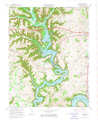
1973 Map of Delmer
USGS Topo · Published 1974About this map
Lake Cumberland dominates the central landscape of this Pulaski County region, its flooded branches and hollows reaching deep into the dissected terrain of the Cumberland River valley. The map documents the mid-1970s development of the area, featuring the path of the Cumberland Parkway and the sprawling water-frontage at Lees Ford Dock. Significant local heritage sites are preserved here, most notably the Mill Springs National Cem and the adjacent Zollicoffer Park, marking the 1862 Civil War battlefield. On the higher ground east of the reservoir, the city of Somerset expands toward its corporate boundaries near the Oakwood Training Center. Rural life is anchored by small communities like Nancy, Delmer, and Trimble, along with numerous country churches such as Saline Ch and Okalona Ch that served generations of families in the southern Kentucky hills.
Find a feature on this map
65 named features on this map. Tap any name to fly to it.
Don’t see what you’re looking for? This feature index may not catch every label — zoom into the map to look around manually.
Map Details
Editions of this 1973 Delmer Map
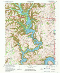
2 editions found
Other maps of this area

1911 · Monticello
USGS Topo · 1:62,500

1914 · Monticello
USGS Topo · 1:62,500

1932 · Burnside
USGS Topo · 1:62,500

1935 · Somerset
USGS Topo · 1:62,500

1953 · Frazer
USGS Topo · 1:24,000

1953 · Mintonville
USGS Topo · 1:24,000

1953 · Mill Springs
USGS Topo · 1:24,000
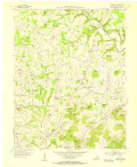
1954 · Bobtown
USGS Topo · 1:24,000

1954 · Burnside
USGS Topo · 1:24,000

1954 · Delmer
USGS Topo · 1:24,000