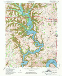
1973 Map of Delmer
USGS Topo · Published 1984About this map
The intricate shoreline of Lake Cumberland dominates this landscape, where the rising waters have transformed the valleys of Fishing Creek and the Cumberland River into deep, branching inlets. This 1973 survey captures the area as the Cumberland Parkway cuts a modern path across the northern ridges, bypassing older settlements like Nancy and Delmer. On the western shore, the Mill Springs National Cem and Zollicoffer Park Cem stand as markers of Civil War history, while the growing eastern edge near Somerset shows expanding infrastructure like the Oakwood Training Center. Away from the water, the terrain is defined by a network of hollows and ridges, including Piney Grove Ridge and Hickory Nut Ridge, where small community churches like Okalona Ch and Veech Haven Ch remain central to the rural character of Pulaski County.
Find a feature on this map
69 named features on this map. Tap any name to fly to it.
Don’t see what you’re looking for? This feature index may not catch every label — zoom into the map to look around manually.
Map Details
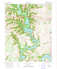
Editions of this 1973 Delmer Map
2 editions found
Other maps of this area

1911 · Monticello
USGS Topo · 1:62,500

1914 · Monticello
USGS Topo · 1:62,500

1932 · Burnside
USGS Topo · 1:62,500

1935 · Somerset
USGS Topo · 1:62,500

1953 · Frazer
USGS Topo · 1:24,000

1953 · Mintonville
USGS Topo · 1:24,000

1953 · Mill Springs
USGS Topo · 1:24,000
1954 · Bobtown
USGS Topo · 1:24,000

1954 · Burnside
USGS Topo · 1:24,000

1954 · Delmer
USGS Topo · 1:24,000