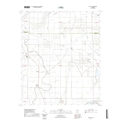
2018 Map of Delta City
USGS Topo · Published 2018About this map
Deer Creek and a network of bayous define this section of the Mississippi Delta along the border of Washington and Sharkey Counties. Small agricultural settlements like Delta City, Nitta Yuma, and Panther Burn are connected by a grid of rural roads and drainage channels including Murphy Bayou and Caney Bayou. The landscape's history is preserved in its local burial grounds, with Mount Zion Cem, Georgia Bend Cem, and Fish Lake Cem marking family and community sites across the bottomlands. The presence of Old Rail Rd near Delta City hints at the former transportation infrastructure that once moved cotton and timber through these fertile plains. To the south, the Big Sunflower River winds along the edge of the survey, where Harris Cem and Cameta sit near the river's edge.
Find a feature on this map
62 named features on this map. Tap any name to fly to it.
Don’t see what you’re looking for? This feature index may not catch every label — zoom into the map to look around manually.
Map Details
Editions of this 2018 Delta City Map
This is the sole edition of this map. No revisions or reprints were ever made.
Other maps of this area

1939 · Lorenzen
USGS Topo · 1:62,500

1939 · Swan Lake
USGS Topo · 1:62,500

1940 · Auter
USGS Topo · 1:62,500

1953 · Greenwood
USGS Topo · 1:250,000

1955 · Jackson
USGS Topo · 1:250,000

1956 · Greenwood
USGS Topo · 1:250,000

1961 · Jackson
USGS Topo · 1:250,000

1961 · Bayland
USGS Topo · 1:62,500

1962 · Jackson
USGS Topo · 1:250,000

1964 · Lorenzen
USGS Topo · 1:62,500