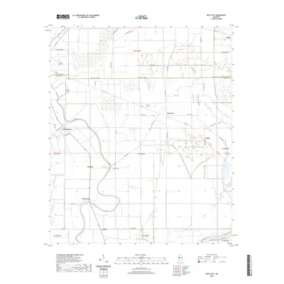
2020 Map of Delta City
USGS Topo · Published 2020About this map
Deer Creek meanders through the heart of the Mississippi Delta, anchoring a landscape defined by its agricultural heritage and small-town settlements. This 2020 survey of Sharkey and Washington Counties reveals the linear development patterns characteristic of the region, where communities like Delta City and Panther Burn are connected by a network of rural roads such as Richey Rd and State Hwy 434. The map provides significant value for genealogical research, documenting numerous localized burial sites including Delta City Cem, Vickland Cem, and the Georgia Bend Cem. Further south, the settlements of Nitta Yuma and Cameta sit near the winding banks of Deer Creek, while the Big Sunflower River defines the southeastern corner of the quadrangle. The intricate drainage network of Jaynes Bayou and Caney Bayou illustrates the complex hydrology that historically shaped the Delta's development and land use.
Find a feature on this map
65 named features on this map. Tap any name to fly to it.
Don’t see what you’re looking for? This feature index may not catch every label — zoom into the map to look around manually.
Map Details
Editions of this 2020 Delta City Map
This is the sole edition of this map. No revisions or reprints were ever made.
Other maps of this area

1939 · Lorenzen
USGS Topo · 1:62,500

1939 · Swan Lake
USGS Topo · 1:62,500

1940 · Auter
USGS Topo · 1:62,500

1953 · Greenwood
USGS Topo · 1:250,000

1955 · Jackson
USGS Topo · 1:250,000

1956 · Greenwood
USGS Topo · 1:250,000

1961 · Jackson
USGS Topo · 1:250,000

1961 · Bayland
USGS Topo · 1:62,500

1962 · Jackson
USGS Topo · 1:250,000

1964 · Lorenzen
USGS Topo · 1:62,500