2024 Map of Delta City
USGS Topo · Published 2024About this map
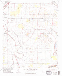
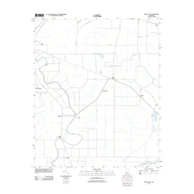
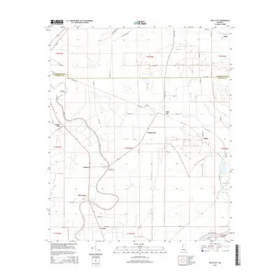
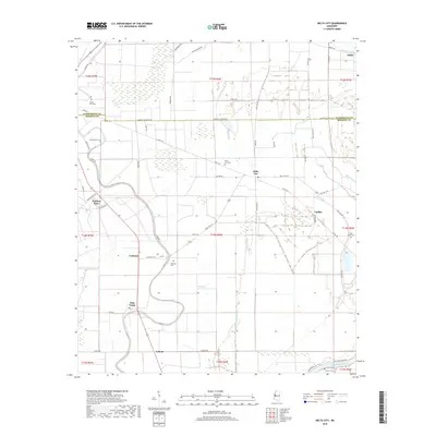
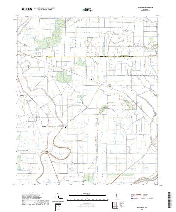
Delta City and the surrounding Yazoo-Mississippi Delta lowlands are defined by a network of bayous and the winding course of Deer Creek. This modern survey illustrates a landscape deeply shaped by its drainage patterns, where the long-established settlements of Nitta Yuma and Panther Burn sit alongside a grid of rural roads and agricultural tracts. The geography is punctuated by numerous bayous, including Jaynes Bayou, Caney Bayou, and Fish Bayou, which eventually lead toward the Big Sunflower River at the southeastern edge of the quadrangle.
Find a feature on this map
62 named features on this map. Tap any name to fly to it.
Don’t see what you’re looking for? This feature index may not catch every label — zoom into the map to look around manually.
Map Details
Editions of this 2024 Delta City Map
This is the sole edition of this map. No revisions or reprints were ever made.
Historical Maps of Updike Through Time
6 maps found