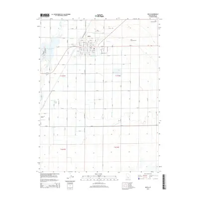
2014 Map of Delta
USGS Topo · Published 2014About this map
Delta stands as a vital hub of irrigation and agriculture in this 2014 record of Millard County. The town is defined by a dense grid of streets and its proximity to the Sevier River, which feeds an intricate network of waterways like the Melville W Canal and Melville E Canal. This system of ditches and canals, including the Eliason Jensen Ditch and Terry Ditch, reveals the intensive engineering required to support the local economy. North of the town center, N Sugar Factory Rd hints at the area's industrial heritage.
Find a feature on this map
107 named features on this map. Tap any name to fly to it.
Don’t see what you’re looking for? This feature index may not catch every label — zoom into the map to look around manually.
Map Details
Editions of this 2014 Delta Map
This is the sole edition of this map. No revisions or reprints were ever made.
Other maps of this area
1885 · Sevier Desert
USGS Topo · 1:250,000
1951 · Oak City
USGS Topo · 1:62,500
1953 · Delta
USGS Topo · 1:250,000
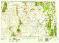
1958 · Delta
USGS Topo · 1:250,000
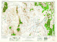
1962 · Delta
USGS Topo · 1:250,000
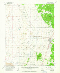
1962 · Holden
USGS Topo · 1:62,500
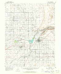
1962 · Delta
USGS Topo · 1:62,500
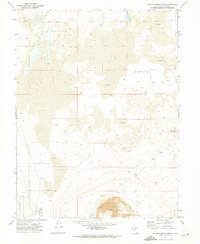
1971 · Pavant Butte North
USGS Topo · 1:24,000
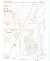
1971 · Sunstone Knoll
USGS Topo · 1:24,000
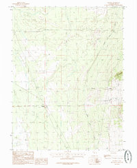
1985 · Harding
USGS Topo · 1:24,000