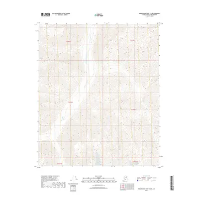
2018 Map of Demarcation Point A-5 NE
USGS Topo · Published 2018About this map
Jago River carves a path through this remote stretch of the North Slope, serving as the central geographic feature of a terrain defined by significant elevation changes. This 2018 survey documents the landscape's character across several townships, including t2s r35e, t3s r35e, and t4s r35e on the western side of the river. The eastern bank is marked by the high elevations of t2s r36e, t3s r36e, and t4s r36e. The map highlights the drainage patterns and steep contours characteristic of this Arctic wilderness, where the river channel provides the primary point of orientation in an otherwise uninhabited environment.
Find a feature on this map
7 named features on this map. Tap any name to fly to it.
Don’t see what you’re looking for? This feature index may not catch every label — zoom into the map to look around manually.
Map Details
Editions of this 2018 Demarcation Point A-5 NE Map
This is the sole edition of this map. No revisions or reprints were ever made.
Other maps of this area

1951 · Demarcation Point
USGS Topo · 1:250,000

1955 · Demarcation Point
USGS Topo · 1:250,000
1956 · Demarcation Point B-4
USGS Topo · 1:63,360

1956 · Demarcation Point B-5
USGS Topo · 1:63,360

1964 · Demarcation Point
USGS Topo · 1:250,000
1983 · Demarcation Point A-5
USGS Topo · 1:63,360
1983 · Demarcation Point A-4
USGS Topo · 1:63,360
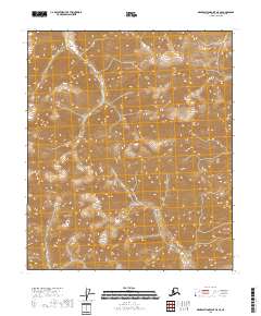
2018 · Demarcation Point A-5 SE
USGS Topo · 1:25,000
2018 · Demarcation Point B-5 SE
USGS Topo · 1:25,000
2018 · Demarcation Point B-5 SW
USGS Topo · 1:25,000