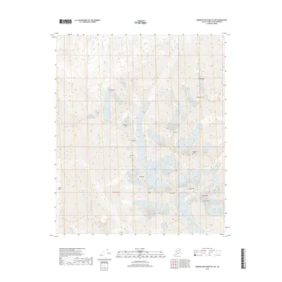
2018 Map of Demarcation Point B-5 SW
USGS Topo · Published 2018About this map
Mt Hubley and Mt McCall dominate this high-latitude terrain within the Romanzof Mountains, part of the Brooks Range in Alaska's far north. This 2018 survey details a landscape of extreme verticality, where deep glacial features like Bur Cirque and prominent ridges such as the Wolverine Crags define the drainage patterns. The Okpilak River winds through the Okpilak Valley in the west, while McCall Cr cuts through the center of the quadrangle. Several high peaks are named for individuals, including Schwanda Peak and Contact Peak, suggesting a history of specialized alpine exploration and scientific study in this glaciated environment. The map provides a precise record of these features as they existed in the early 21st century, prior to further shifts in the Arctic's cryosphere.
Find a feature on this map
20 named features on this map. Tap any name to fly to it.
Don’t see what you’re looking for? This feature index may not catch every label — zoom into the map to look around manually.
Map Details
Editions of this 2018 Demarcation Point B-5 SW Map
This is the sole edition of this map. No revisions or reprints were ever made.
Other maps of this area

1951 · Demarcation Point
USGS Topo · 1:250,000

1951 · Mt. Michelson
USGS Topo · 1:250,000

1955 · Demarcation Point
USGS Topo · 1:250,000

1955 · Mount Michelson B-1
USGS Topo · 1:63,360

1956 · Mt. Michelson
USGS Topo · 1:250,000

1956 · Demarcation Point B-5
USGS Topo · 1:63,360

1964 · Demarcation Point
USGS Topo · 1:250,000
1983 · Demarcation Point A-5
USGS Topo · 1:63,360
1983 · Mount Michelson A-1
USGS Topo · 1:63,360
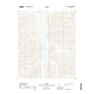
2018 · Demarcation Point B-5 SE
USGS Topo · 1:25,000