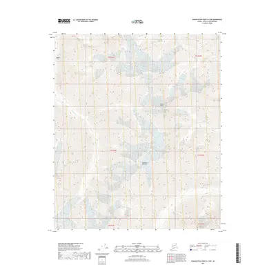
2018 Map of Demarcation Point A-5 NW
USGS Topo · Published 2018About this map
The Romanzof Mountains dominate this high-latitude terrain within the Brooks Range, rising sharply above the glacial valleys of the far north. This 2018 survey captures a landscape defined by extreme elevation and ice, most notably at Mt Isto, which stands as a prominent peak in the eastern portion of the range. The Okpilak River carves a deep path through the Okpilak Valley, illustrating the powerful hydrological forces that shape this arctic environment. The lack of human settlements or infrastructure emphasizes the wilderness character of the North Slope, where the topographic detail reveals the intricate ridges and drainage patterns of the Romanzof subrange. For researchers and geologists, this map provides an exacting look at the structural geology and perennial snowfields of one of the highest regions in the American Arctic.
Find a feature on this map
11 named features on this map. Tap any name to fly to it.
Don’t see what you’re looking for? This feature index may not catch every label — zoom into the map to look around manually.
Map Details
Editions of this 2018 Demarcation Point A-5 NW Map
This is the sole edition of this map. No revisions or reprints were ever made.
Other maps of this area

1951 · Demarcation Point
USGS Topo · 1:250,000

1951 · Mt. Michelson
USGS Topo · 1:250,000

1955 · Demarcation Point
USGS Topo · 1:250,000

1955 · Mount Michelson B-1
USGS Topo · 1:63,360

1956 · Mt. Michelson
USGS Topo · 1:250,000

1956 · Demarcation Point B-5
USGS Topo · 1:63,360

1964 · Demarcation Point
USGS Topo · 1:250,000
1983 · Demarcation Point A-5
USGS Topo · 1:63,360
1983 · Mount Michelson A-1
USGS Topo · 1:63,360
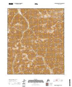
2018 · Demarcation Point A-5 SE
USGS Topo · 1:25,000