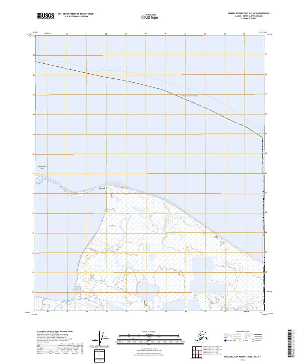
2024 Map of Demarcation Point C-1 NE
USGS Topo · Published 2024About this map
Demarcation Point marks the northernmost coastal boundary where the Alaskan landscape meets the Beaufort Sea, a site defined by its proximity to the international border with Canada. This contemporary survey captures a region of immense conservation importance, with much of the land designated as the Mollie Beattie Wilderness within the broader Arctic National Wildlife Refuge. The coastline is characterized by intricate barrier islands and lagoons, including Kagiluak Bight, which have historically provided refuge for seasonal travelers and indigenous residents. The small settlement of Gordon is situated along the shore, representing one of the few named outposts in this isolated environment. This map details the intersection of early 20th-century geopolitical boundaries with modern environmental protection, showing the section lines of the Public Land Survey System as they extend across the wetlands and tundra of the North Slope.
Find a feature on this map
12 named features on this map. Tap any name to fly to it.
Don’t see what you’re looking for? This feature index may not catch every label — zoom into the map to look around manually.
Map Details
Editions of this 2024 Demarcation Point C-1 NE Map
This is the sole edition of this map. No revisions or reprints were ever made.
Other maps of this area

1951 · Demarcation Point
USGS Topo · 1:250,000

1955 · Demarcation Point
USGS Topo · 1:250,000
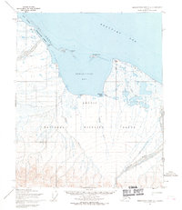
1955 · Demarcation Point C-1
USGS Topo · 1:63,360

1964 · Demarcation Point
USGS Topo · 1:250,000
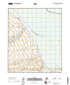
2018 · Demarcation Point C-1 NW
USGS Topo · 1:25,000
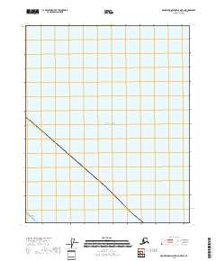
2018 · Demarcation Point D-2 OE E SW
USGS Topo · 1:25,000
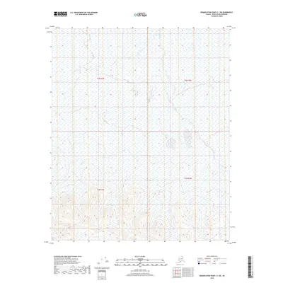
2018 · Demarcation Point C-1 SW
USGS Topo · 1:25,000
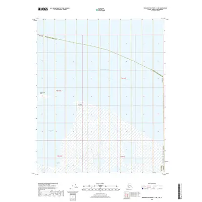
2018 · Demarcation Point C-1 NE
USGS Topo · 1:25,000
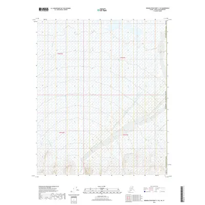
2018 · Demarcation Point C-1 SE
USGS Topo · 1:25,000
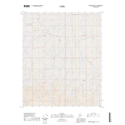
2023 · Demarcation Point C-1 SW
USGS Topo · 1:25,000