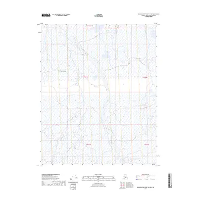
2023 Map of Demarcation Point D-5 NW
USGS Topo · Published 2023About this map
The Okpilak River dominates this portion of the North Slope, carving a braided path through the coastal plain as it flows toward the Arctic Ocean. This modern survey, situated within the Arctic National Wildlife Refuge, documents the shifting hydrology of a landscape largely untouched by permanent human infrastructure. The map provides a detailed view of the intricate network of wetlands, small ponds, and alluvial deposits that characterize the tundra environment during the early 21st century. Defined by the Public Land Survey System grids of t8n r33e through t6n r34e, the terrain remains a vast expanse of ecological significance, where the absence of roads and settlements highlights the remote character of Alaska's northern reaches.
Find a feature on this map
7 named features on this map. Tap any name to fly to it.
Don’t see what you’re looking for? This feature index may not catch every label — zoom into the map to look around manually.
Map Details
Editions of this 2023 Demarcation Point D-5 NW Map
This is the sole edition of this map. No revisions or reprints were ever made.
Other maps of this area

1951 · Barter Island
USGS Topo · 1:250,000

1951 · Demarcation Point
USGS Topo · 1:250,000

1951 · Mt. Michelson
USGS Topo · 1:250,000

1955 · Flaxman Island
USGS Topo · 1:250,000

1955 · Demarcation Point
USGS Topo · 1:250,000

1955 · Flaxman Island A-1
USGS Topo · 1:63,360

1955 · Barter Island A-5
USGS Topo · 1:63,360

1955 · Mount Michelson D-1
USGS Topo · 1:63,360

1955 · Demarcation Point D-5
USGS Topo · 1:63,360

1956 · Mt. Michelson
USGS Topo · 1:250,000