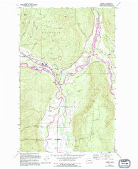
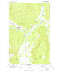
1972 Map of Deming
USGS Topo · Published 1994About this map
Sumas Mountain and the prominent ridge of Van Zandt Dike dominate this landscape where the branches of the Nooksack converge. The settlement of Deming serves as a central hub, situated near the confluence of the Nooksack River and the South Fork Nooksack River. The map captures a moment of established rural infrastructure, including Mt Baker High Sch and the Deming Speedway near the river bend.
Find a feature on this map
60 named features on this map. Tap any name to fly to it.
Don’t see what you’re looking for? This feature index may not catch every label — zoom into the map to look around manually.
Map Details
Editions of this 1972 Deming Map
2 editions found
Other maps of this area

1906 · Sumas
USGS Topo · 1:62,500

1908 · Sumas
USGS Topo · 1:62,500

1918 · Samish Lake
USGS Topo · 1:62,500

1919 · Van Zandt
USGS Topo · 1:62,500

1921 · Wickersham
USGS Topo · 1:62,500

1951 · Wickersham
USGS Topo · 1:62,500

1951 · Van Zandt
USGS Topo · 1:62,500

1952 · Lake Whatcom
USGS Topo · 1:24,000

1952 · Lawrence
USGS Topo · 1:24,000

1952 · Sumas
USGS Topo · 1:24,000