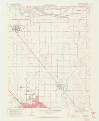
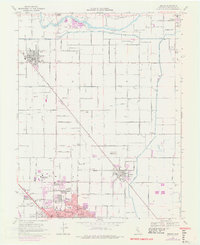
1969 Map of Denair
USGS Topo · Published 1971About this map
The Tuolumne River winds across the northern edge of this Central Valley landscape, defining a corridor of agricultural and industrial development. During the late 1960s, the growing campus of Stanislaus State College and the neighboring Emanuel Hospital anchor the northern expansion of Turlock. This period captures the region's heavy reliance on an intricate irrigation network, with the Ceres Main Canal and numerous laterals like Upper Lateral No 3 carving through the orchard-heavy countryside. The presence of the Atchison Topeka and Santa Fe and Southern Pacific railroads highlights the vital transportation links that supported towns such as Hughson, Denair, and Hickman. Smaller community hubs are preserved here in the form of rural schools like Ross Sch and the Grange Hall along Grayson Road.
Find a feature on this map
64 named features on this map. Tap any name to fly to it.
Don’t see what you’re looking for? This feature index may not catch every label — zoom into the map to look around manually.
Map Details
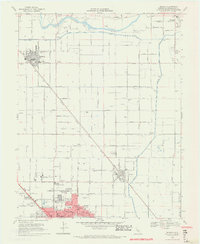
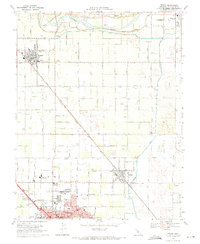
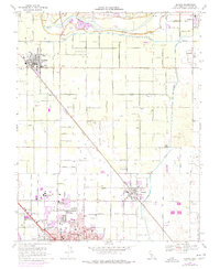
Editions of this 1969 Denair Map
5 editions found
Other maps of this area

1915 · Paulsell
USGS Topo · 1:31,680

1916 · Mitchell School
USGS Topo · 1:31,680

1916 · Cressey
USGS Topo · 1:31,680

1916 · Montpellier
USGS Topo · 1:31,680

1916 · Riverbank
USGS Topo · 1:31,680

1916 · Denair
USGS Topo · 1:31,680

1916 · Waterford
USGS Topo · 1:31,680

1916 · Ceres
USGS Topo · 1:31,680

1917 · Turlock
USGS Topo · 1:31,680

1939 · Modesto East
USGS Topo · 1:62,500