Loading...
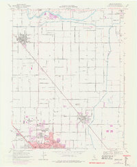
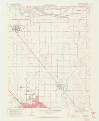
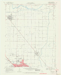
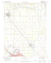
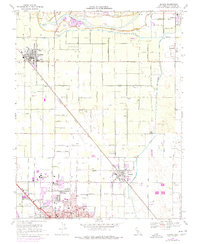
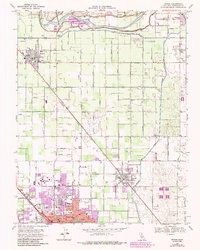
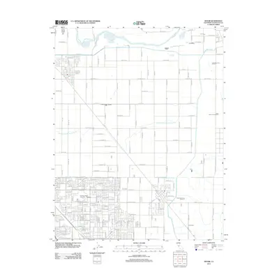
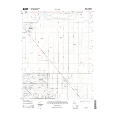
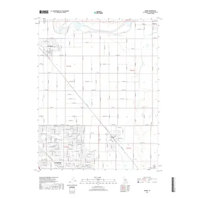
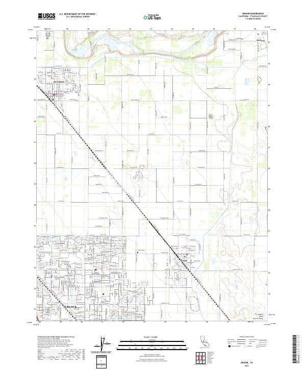
Loading map...1969 Map of Denair
USGS Topo · Published 1977About this map
Agricultural development and suburban growth define this mid-century portrait of Stanislaus County, centered on the irrigation networks of the Tuolumne River. The landscape is etched with a precise grid of water engineering, from the Ceres Main Canal to the numerous lateral systems like Upper Lateral No 2, which fueled the region's orchard and dairy economies. The expansion of Turlock is evident in the south, marked by the presence of Stanislaus State College and Emanuel Hospital.
Find a feature on this map
67 named features on this map. Tap any name to fly to it.
Don’t see what you’re looking for? This feature index may not catch every label — zoom into the map to look around manually.
Map Details
Date Portrayed1969
Date Published1977
PublisherU.S. Geological Survey
Map TypeTopographic
Scale1:24,000
Physical Dimensions22.3 x 27.3 inches
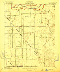
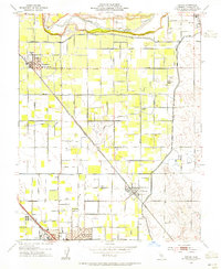
Editions of this 1969 Denair Map
5 editions found
Historical Maps of Turlock Through Time
8 maps found
Featured Locations
Source Details
SourceU.S. Geological Survey
CopyrightPublic Domain