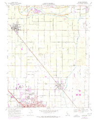
1969 Map of Denair
USGS Topo · Published 1977About this map
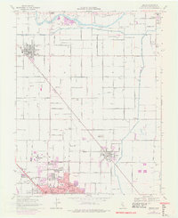
Agricultural development and suburban expansion define this San Joaquin Valley landscape, where the northern edges of Turlock meet the smaller communities of Denair, Hughson, and Hickman. The Tuolumne River snakes along the northern boundary, its banks marked by active Gravel Pits and remaining Tailings from dredging operations near Fox Grove Park. The irrigation network of the Ceres Main Canal and Turlock Canal supports the surrounding orchards and fields, organized along a strict grid of avenues and lateral roads. Educational and civic growth is evident in the sprawling footprint of Stanislaus State College and the central presence of Emanuel Hospital within the Turlock city limits. Transportation remains centered on the diagonal corridors of the Atchison Topeka and Santa Fe and the Southern Pacific railroads, which bypass traditional grid lines to connect these valley hubs.
Find a feature on this map
43 named features on this map. Tap any name to fly to it.
Don’t see what you’re looking for? This feature index may not catch every label — zoom into the map to look around manually.
Map Details
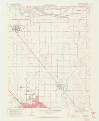
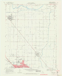
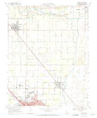
Editions of this 1969 Denair Map
5 editions found
Other maps of this area

1915 · Paulsell
USGS Topo · 1:31,680

1916 · Mitchell School
USGS Topo · 1:31,680

1916 · Cressey
USGS Topo · 1:31,680

1916 · Montpellier
USGS Topo · 1:31,680

1916 · Riverbank
USGS Topo · 1:31,680

1916 · Denair
USGS Topo · 1:31,680

1916 · Waterford
USGS Topo · 1:31,680

1916 · Ceres
USGS Topo · 1:31,680

1917 · Turlock
USGS Topo · 1:31,680

1939 · Modesto East
USGS Topo · 1:62,500