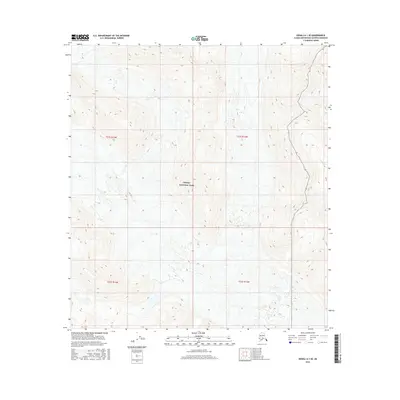
2016 Map of Denali A-1 SE
USGS Topo · Published 2016About this map
Denali National Park encompasses the vast majority of this 2016 survey, revealing a high-altitude wilderness defined by extreme relief and glacial activity. The topography is dominated by steep mountain ridges and deep valleys, where elevation contours pack tightly together to illustrate the dramatic ascent into the Alaska Range. Drainage is sparse across this protected landscape, with Partin Creek appearing in the northeast corner as one of the few named watercourses. Produced by the U.S. Geological Survey using imagery from 2009 to 2015, the map documents the preserve's interior far from established roads or human settlements. The presence of the Public Land Survey System grid lines, including t21s r14w and t22s r13w, provides a spatial reference for researchers and wilderness navigators studying this remote subarctic environment.
Find a feature on this map
6 named features on this map. Tap any name to fly to it.
Don’t see what you’re looking for? This feature index may not catch every label — zoom into the map to look around manually.
Map Details
Editions of this 2016 Denali A-1 SE Map
This is the sole edition of this map. No revisions or reprints were ever made.
Other maps of this area

1949 · Talkeetna Mountains D-6
USGS Topo · 1:63,360

1949 · Healy A-6
USGS Topo · 1:63,360

1950 · Talkeetna Mountains
USGS Topo · 1:250,000

1950 · Talkeetna
USGS Topo · 1:250,000

1951 · Talkeetna
USGS Topo · 1:250,000

1951 · Healy
USGS Topo · 1:250,000

1951 · Talkeetna Mountains D-6
USGS Topo · 1:63,360

1952 · Mount McKinley
USGS Topo · 1:250,000

1952 · Talkeetna Mountains D-6
USGS Topo · 1:63,360

1953 · Healy A-6
USGS Topo · 1:63,360