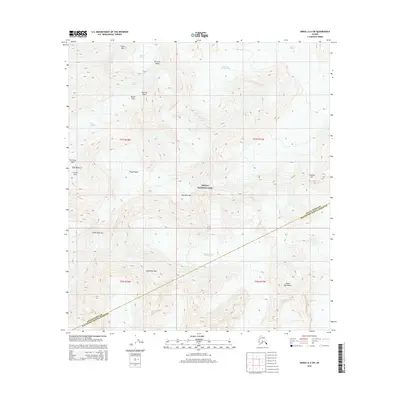
2015 Map of Denali A-2 SW
USGS Topo · Published 2015About this map
Denali National Park encompasses this high-altitude glacial environment, captured here as the borough line between Denali Borough and Matanuska-Susitna Borough cuts across the southeast. The terrain is defined by massive ice systems and the ridges that channel them, including the extensive Muldrow Glacier and the Northwest Fork Ruth Glacier. A complex network of frozen flows is visible, from the Harper Icefall near Karstens Ridge to the West Fork Traleika Glacier. Significant vertical landmarks like Mount Dan Beard, Browne Tower, and the prominent East Buttress and South Buttress frame the basins. This map illustrates the transition from high icefields like the Thayer Basin through narrow apertures such as the Traleika Col and Parker Pass, showing the raw geological structure of the Alaska Range before these glaciers meet lower elevations.
Find a feature on this map
25 named features on this map. Tap any name to fly to it.
Don’t see what you’re looking for? This feature index may not catch every label — zoom into the map to look around manually.
Map Details
Editions of this 2015 Denali A-2 SW Map
This is the sole edition of this map. No revisions or reprints were ever made.
Other maps of this area

1950 · Talkeetna
USGS Topo · 1:250,000

1951 · Talkeetna
USGS Topo · 1:250,000

1952 · Mount McKinley
USGS Topo · 1:250,000

1954 · Mount McKinley A-2
USGS Topo · 1:63,360

1954 · Mount McKinley A-3
USGS Topo · 1:63,360

1958 · Talkeetna D-2
USGS Topo · 1:63,360

1958 · Talkeetna D-3
USGS Topo · 1:63,360

1958 · Talkeetna
USGS Topo · 1:250,000

1958 · Mount McKinley
USGS Topo · 1:250,000

1965 · Talkeetna
USGS Topo · 1:250,000