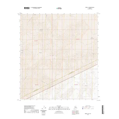
2023 Map of Denali A-2 SW
USGS Topo · Published 2023About this map
Denali National Park and the protected Denali Wilderness dominate this high-elevation terrain in the central Alaska Range. The map details the formidable verticality of the massif, anchored by the massive East Buttress and South Buttress. Surveyed in the early 2020s, this data captures the complex glaciated geography where prominent ridges like Karstens Ridge and Pioneer Ridge descend from the heights of Denali. To the southeast, the peak of Mt Dan Beard stands above the ice, while critical mountaineering landmarks such as Parker Pass, Browne Tower, and Traleika Col define the navigable breaks in the wall of rock. This sheet covers the boundary between Denali Borough and the Matanuska-Susitna Borough, illustrating the topographic divide that separates these two regions.
Find a feature on this map
21 named features on this map. Tap any name to fly to it.
Don’t see what you’re looking for? This feature index may not catch every label — zoom into the map to look around manually.
Map Details
Editions of this 2023 Denali A-2 SW Map
This is the sole edition of this map. No revisions or reprints were ever made.
Other maps of this area

1950 · Talkeetna
USGS Topo · 1:250,000

1951 · Talkeetna
USGS Topo · 1:250,000

1952 · Mount McKinley
USGS Topo · 1:250,000

1954 · Mount McKinley A-2
USGS Topo · 1:63,360

1954 · Mount McKinley A-3
USGS Topo · 1:63,360

1958 · Talkeetna D-2
USGS Topo · 1:63,360

1958 · Talkeetna D-3
USGS Topo · 1:63,360

1958 · Talkeetna
USGS Topo · 1:250,000

1958 · Mount McKinley
USGS Topo · 1:250,000

1965 · Talkeetna
USGS Topo · 1:250,000