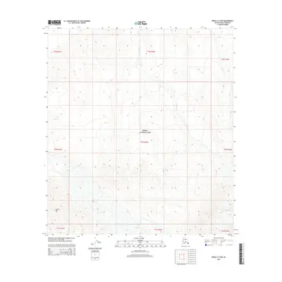
2015 Map of Denali A-3 NW
USGS Topo · Published 2015About this map
Denali National Park encompasses the vast majority of this interior Alaskan landscape, showing the protected wilderness as it was documented in 2015. The terrain is defined by high elevation contours and significant relief, punctuated by landmarks such as Spyglass Hill in the southwestern quadrant. Water systems are the primary named features of this remote area, with Birch Creek and its tributary Birch Cr carving through the northeastern valleys, while Hauke Cr appears in the west. The map provides a precise look at the Public Land Survey System grid, specifically within the townships of t20s r20w and t19s r20w, offering a clear view of how these remote sections are organized within the park's boundaries.
Find a feature on this map
14 named features on this map. Tap any name to fly to it.
Don’t see what you’re looking for? This feature index may not catch every label — zoom into the map to look around manually.
Map Details
Editions of this 2015 Denali A-3 NW Map
This is the sole edition of this map. No revisions or reprints were ever made.
Other maps of this area

1952 · Mount McKinley
USGS Topo · 1:250,000

1953 · Mount McKinley B-4
USGS Topo · 1:63,360

1953 · Mount McKinley B-3
USGS Topo · 1:63,360

1953 · Mount McKinley A-4
USGS Topo · 1:63,360

1954 · Mount McKinley A-4
USGS Topo · 1:63,360

1954 · Mount McKinley B-3
USGS Topo · 1:63,360

1954 · Mount McKinley A-3
USGS Topo · 1:63,360

1958 · Mount McKinley
USGS Topo · 1:250,000

1969 · Mount McKinley
USGS Topo · 1:250,000
2015 · Denali A-4 SE
USGS Topo · 1:25,000