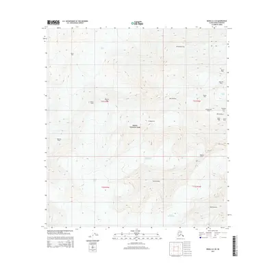
2015 Map of Denali A-3 SE
USGS Topo · Published 2015About this map
Denali and its surrounding peaks dominate this 2015 high-altitude survey of the Alaska Range. The map details the central mass of Denali National Park, centering on the ascent routes and geological features of North America’s highest summit. Key mountaineering landmarks such as the West Buttress, Denali Pass, and the notorious Windy Corner are charted alongside the massive glacial systems that define the terrain. The ice-choked landscape includes the Northeast Fork Kahiltna Glacier and the Harper Glacier, which flow from the high ridges of Churchill Peaks. Notable topographic features include the sheer Wickersham Wall to the north and the jagged South Buttress. This edition provides an exact record of the ice margins and summit geography as they existed in the mid-2010s, capturing the distinct points of South Peak and North Peak.
Find a feature on this map
28 named features on this map. Tap any name to fly to it.
Don’t see what you’re looking for? This feature index may not catch every label — zoom into the map to look around manually.
Map Details
Editions of this 2015 Denali A-3 SE Map
This is the sole edition of this map. No revisions or reprints were ever made.
Other maps of this area

1950 · Talkeetna
USGS Topo · 1:250,000

1951 · Talkeetna
USGS Topo · 1:250,000

1952 · Mount McKinley
USGS Topo · 1:250,000

1954 · Mount McKinley A-2
USGS Topo · 1:63,360

1954 · Mount McKinley A-3
USGS Topo · 1:63,360

1958 · Talkeetna D-2
USGS Topo · 1:63,360

1958 · Talkeetna D-3
USGS Topo · 1:63,360

1958 · Talkeetna
USGS Topo · 1:250,000

1958 · Mount McKinley
USGS Topo · 1:250,000

1965 · Talkeetna
USGS Topo · 1:250,000