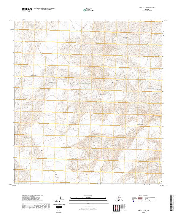
2025 Map of Denali A-3 SE
USGS Topo · Published 2025About this map
Mt McKinley dominates the eastern boundary of this high-elevation terrain, where the granite and ice of the Alaska Range define the heart of Denali National Park. This 2025 survey provides a clear view of the extreme vertical relief along the West Buttress and the formidable Wickersham Wall, landmarks central to the history of high-altitude mountaineering. The topography captures the complexity of the massif, including the Churchill Peaks, North Peak, and South Peak, along with critical transition points like Windy Corner and Denali Pass. Farther west, the landscape descends through the Kahiltna Pass toward Mt Capps and the Kahiltna Dome, tracing the upper reaches of the massive glacial systems that have shaped this wilderness for millennia.
Find a feature on this map
19 named features on this map. Tap any name to fly to it.
Don’t see what you’re looking for? This feature index may not catch every label — zoom into the map to look around manually.
Map Details
Editions of this 2025 Denali A-3 SE Map
This is the sole edition of this map. No revisions or reprints were ever made.
Other maps of this area

1950 · Talkeetna
USGS Topo · 1:250,000

1951 · Talkeetna
USGS Topo · 1:250,000

1952 · Mount McKinley
USGS Topo · 1:250,000

1954 · Mount McKinley A-2
USGS Topo · 1:63,360

1954 · Mount McKinley A-3
USGS Topo · 1:63,360

1958 · Talkeetna D-2
USGS Topo · 1:63,360

1958 · Talkeetna D-3
USGS Topo · 1:63,360

1958 · Talkeetna
USGS Topo · 1:250,000

1958 · Mount McKinley
USGS Topo · 1:250,000

1965 · Talkeetna
USGS Topo · 1:250,000