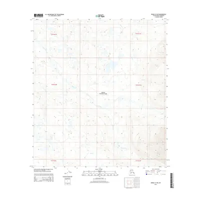
2015 Map of Denali A-4 NE
USGS Topo · Published 2015About this map
Denali National Park encompasses the vast majority of this interior Alaskan landscape, where the braiding channels of the Foraker River dominate the central topography. In this 2015 snapshot, the river's path is defined by a broad alluvial floor, flanked by the drainage networks of Hauke Creek to the north and White Creek to the south. The terrain transitions from these low-lying glacial watercourses into significant elevation gains along the eastern margin. This survey preserves the remote character of the subarctic wilderness as it existed in the early 21st century, showing a land virtually untouched by permanent human structures or roads. It offers a detailed record of the shifting riverbed and natural boundaries within one of the most protected environmental regions in the United States.
Find a feature on this map
10 named features on this map. Tap any name to fly to it.
Don’t see what you’re looking for? This feature index may not catch every label — zoom into the map to look around manually.
Map Details
Editions of this 2015 Denali A-4 NE Map
This is the sole edition of this map. No revisions or reprints were ever made.
Other maps of this area

1952 · Mount McKinley
USGS Topo · 1:250,000

1953 · Mount McKinley B-4
USGS Topo · 1:63,360

1953 · Mount McKinley B-3
USGS Topo · 1:63,360

1953 · Mount McKinley A-4
USGS Topo · 1:63,360

1954 · Mount McKinley A-4
USGS Topo · 1:63,360

1954 · Mount McKinley B-3
USGS Topo · 1:63,360

1954 · Mount McKinley A-3
USGS Topo · 1:63,360

1958 · Mount McKinley
USGS Topo · 1:250,000

1969 · Mount McKinley
USGS Topo · 1:250,000
2015 · Denali A-4 SE
USGS Topo · 1:25,000