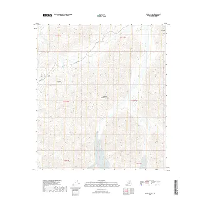
2019 Map of Denali B-1 NE
USGS Topo · Published 2019About this map
Denali National Park terrain is defined by its high-altitude topography and the solitary route of the Park Road as it winds through the interior. The landscape is marked by prominent elevations including Divide Mtn in the northeast and the centrally located Stony Dome and Stony Hill. This 2019 survey captures the hydrological network of the region, where Stony Creek and its tributaries like Little Stony Cr and Gorge Cr drain the slopes of Gravel Mtn and Green Dome.
Find a feature on this map
21 named features on this map. Tap any name to fly to it.
Don’t see what you’re looking for? This feature index may not catch every label — zoom into the map to look around manually.
Map Details
Editions of this 2019 Denali B-1 NE Map
This is the sole edition of this map. No revisions or reprints were ever made.
Other maps of this area

1951 · Healy
USGS Topo · 1:250,000

1952 · Mount McKinley
USGS Topo · 1:250,000

1952 · Mount McKinley B-1
USGS Topo · 1:63,360

1952 · Mount McKinley C-1
USGS Topo · 1:63,360

1954 · Healy C-6
USGS Topo · 1:63,360

1954 · Healy B-6
USGS Topo · 1:63,360

1954 · Mount McKinley C-1
USGS Topo · 1:63,360

1954 · Mount McKinley B-1
USGS Topo · 1:63,360

1956 · Healy
USGS Topo · 1:250,000

1958 · Mount McKinley
USGS Topo · 1:250,000